
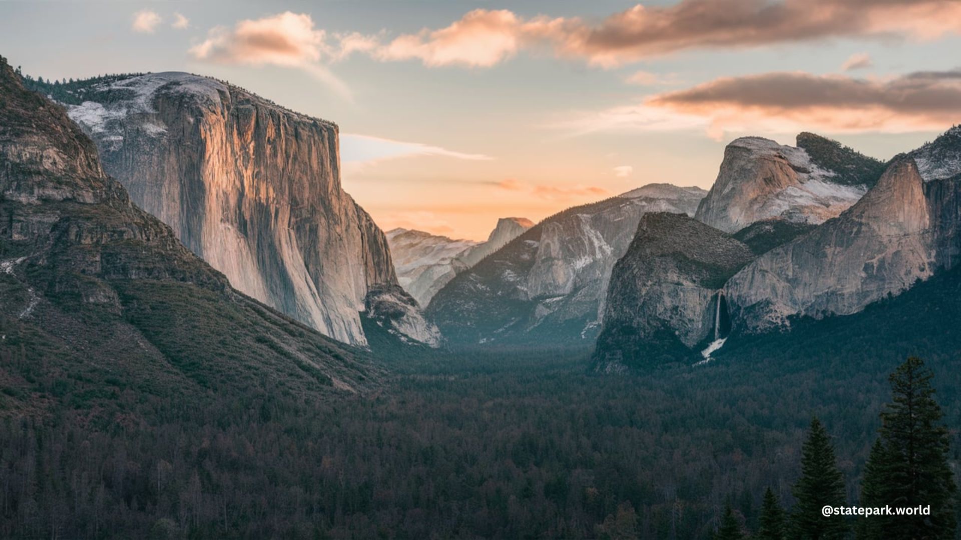
Yosemite National Park is a vast and breathtaking natural wonder, spanning an impressive 1,169 square miles of rugged terrain. The park’s boundaries are defined by a intricate tapestry of geographical features, historical sites, and administrative divisions, creating a unique and captivating landscape for visitors to explore.
Defining the Yosemite National Park Boundaries
Yosemite National Park’s boundaries are marked by a series of entrance stations, including the Tioga Pass Entrance, South Entrance, Arch Rock Entrance, Hetch Hetchy Entrance, Big Oak Flat Entrance, Fish Camp, Lee Vining, Yosemite West, Chinquapin, and El Portal. These entry points serve as gateways to the park’s diverse and awe-inspiring natural wonders.
The park’s boundary data is publicly available and managed by the National Park Service. This data is associated with Land Status Maps and is intended for public use, with no license information provided. The data was last updated on February 12, 2024, ensuring visitors have access to the most current information.
Navigating the Park’s Geographical Features
Yosemite National Park’s boundaries encompass a vast array of geographical features, including mountain peaks, rivers, lakes, and campgrounds. Some of the notable landmarks within the park’s boundaries include:
- Johnson Peak
- Unicorn Peak
- Lembert Dome
- Pothole Dome
- Volunteer Peak
- Benson Pass
- Echo Peaks
- Fairview Dome
- Medlicott Dome
- Amelia Earhart Peak
- Vogelsang Peak
- Tresidder Peak
- Mount Gibson
- Buena Vista Peak
- Moraine Mountain
- Merced Pass
- Chiquito Pass
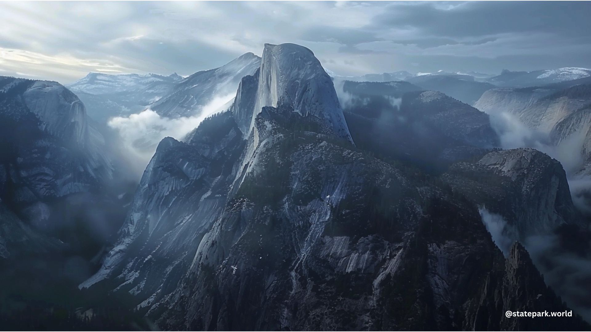
- Clouds Rest
- El Capitan
- Glacier Point
- Happy Isles
- Little Yosemite Valley
- Yosemite Falls
- Pohono Trail
- Old Big Oak Flat Road
- Tamarack Creek
- South Fork of the Tuolumne
- Aspen Valley
- White Wolf Campground
- Lukens Lake
- Yosemite Creek
- Ten Lakes
- Porcupine Creek
- May Lake
- Sunrise Lakes
- Murphy Creek
- Cathedral Lakes
- Glen Aulin Camp
- Lyell Canyon
Accessing the Park’s Trails and Trailheads
Yosemite National Park’s boundaries encompass a vast network of trails and trailheads, providing visitors with numerous opportunities for outdoor exploration. Some of the park’s key trailheads include the Glacier Point Road Trailhead and the Wawona Trailhead, both of which are accessible from the surrounding Sierra National Forest.
Visitors to Yosemite can obtain physical maps in addition to virtual ones, as GPS coverage can be spotty within the park. Detailed PDF maps of specific regions and trails are available to help plan and navigate outdoor adventures.
Conclusion
Yosemite National Park’s boundaries are a complex and fascinating tapestry of geographical features, historical sites, and administrative divisions. From the towering peaks and cascading waterfalls to the serene lakes and winding trails, the park offers a truly unique and awe-inspiring experience for visitors. By understanding the park’s boundaries and the wealth of natural wonders within them, travelers can plan unforgettable adventures and create lasting memories in this iconic American landscape.