Yellowstone National Park, the world’s first national park, has a rich history of boundary adjustments and expansions. From the initial boundaries set by Ferdinand Hayden to the proposed changes by geologist Arnold Hague, the park’s borders have been a subject of ongoing discussion and debate. In this blog post, we’ll delve into the intricacies of Yellowstone’s boundaries, exploring the key facts and figures that shape this iconic American landscape.
The Original Boundaries
The original boundaries of Yellowstone National Park were established in 1872 by Ferdinand Hayden, a prominent geologist and explorer. Hayden’s aim was to preserve the park’s remarkable geothermal features, including the famous geysers and hot springs. The initial boundaries were somewhat arbitrary, extending 10 miles beyond Yellowstone Lake to the east and south, with the northern boundary at the confluence of the Gardner and Yellowstone rivers, and the western boundary 10 miles west of Madison Lake (later determined to be Shoshone Lake).
Hague’s Proposed Boundary Adjustments
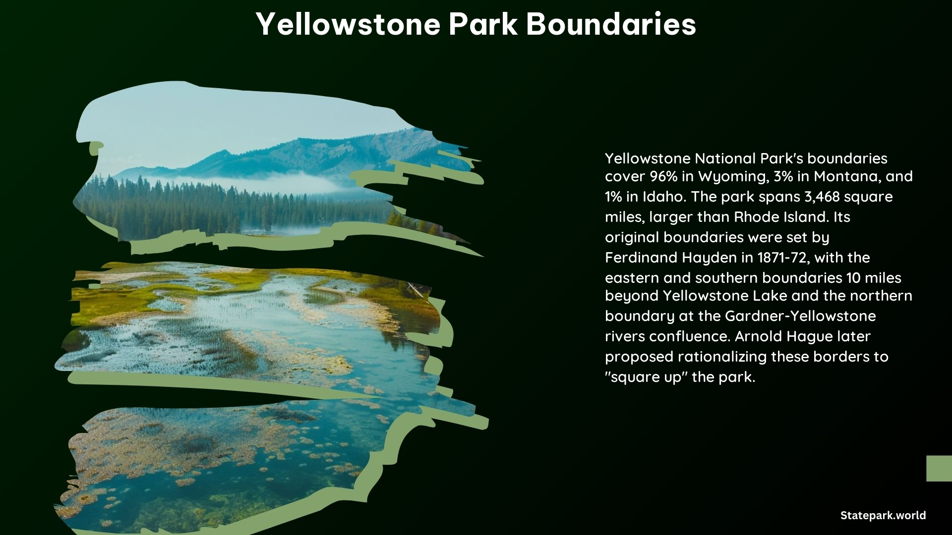
Arnold Hague, a renowned geologist who spent seven summers studying Yellowstone’s geology and geysers, proposed a more rational approach to the park’s boundaries. Hague suggested extending the eastern and southern boundaries 10 miles beyond the edges of Yellowstone Lake, which would have included more of the Absaroka Mountains and the sources of the Yellowstone and Snake rivers. This expansion would have protected important game habitats and ensured clean water sources, similar to the efforts made in New York state’s Adirondacks region.
Current Boundaries
Today, Yellowstone National Park covers an area of approximately 3,468 square miles (9,000 square kilometers), with 96% of the park located in Wyoming, 3% in Montana, and 1% in Idaho. The park’s boundaries have been adjusted over time to include more of the surrounding natural features and habitats, but the core area remains largely unchanged from Hayden’s original vision.
Maps and Resources
Visitors to Yellowstone National Park can access a wealth of information and resources to explore the park’s boundaries and geography. The official park website offers downloadable maps in various formats, including PDF, Illustrator, and Photoshop, providing detailed information on the park’s layout and features. Additionally, the National Park Service’s official app features an interactive park map, allowing users to navigate the park’s boundaries and points of interest.
Key Statistics and Facts
| Statistic | Value |
|---|---|
| Area | 3,468 square miles (9,000 square kilometers) |
| Location | 96% in Wyoming, 3% in Montana, 1% in Idaho |
| Established | 1872 |
| Original Boundaries | Set by Ferdinand Hayden |
| Proposed Adjustments | Arnold Hague’s suggestions for expansion |
| Maps and Resources | Official park website, National Park Service app, downloadable maps |
Yellowstone National Park’s boundaries have been a subject of ongoing discussion and evolution since its establishment in 1872. From the initial boundaries set by Ferdinand Hayden to the proposed adjustments by Arnold Hague, the park’s borders have shaped the preservation and protection of this iconic American landscape. By understanding the history and current state of Yellowstone’s boundaries, visitors can better appreciate the park’s unique features and the efforts to safeguard its natural wonders for generations to come.