
Brown County State Park’s Hesitation Point is a popular destination for outdoor enthusiasts, offering a challenging trail and breathtaking views of the surrounding landscape. Whether you’re an avid hiker, mountain biker, or simply someone who appreciates the beauty of nature, this destination is sure to leave a lasting impression.
Distance and Difficulty Level of the Hesitation Point Trail

The Hesitation Point Trail is approximately 2.1 miles long and is considered an advanced-level trail. This means that the trail features steep climbs, technical features such as rocky sections, logs, step-downs, bridges, and tight switchbacks. Hikers and mountain bikers should be prepared for a physically demanding experience.
| Trail Characteristic | Details |
|---|---|
| Distance | 2.1 miles |
| Difficulty Level | Advanced |
| Terrain Features | Steep climbs, rocky sections, logs, step-downs, bridges, tight switchbacks |
Scenic Highlights and Views
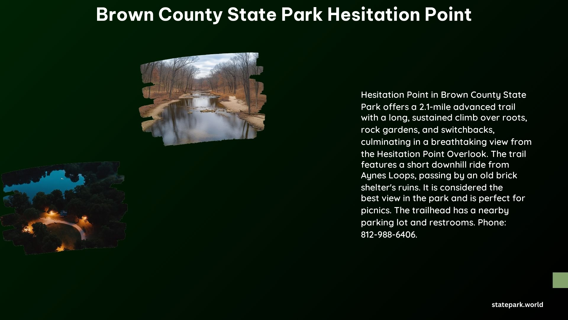
One of the main attractions of the Hesitation Point Trail is the stunning view that can be enjoyed from the Hesitation Point Overlook. This viewpoint offers a panoramic vista of the surrounding hills and forests, making it a popular spot for visitors to stop and take in the natural beauty.
In addition to the overlook, the Hesitation Point area is also an excellent spot for a picnic. The nearby parking lot and restroom facilities make it a convenient location to enjoy a meal while surrounded by the park’s natural splendor.
| Scenic Highlight | Description |
|---|---|
| Best View in the Park | Hesitation Point Overlook offers a breathtaking panoramic view of the surrounding landscape. |
| Picnic Spot | The Hesitation Point area is an ideal location for a picnic, with a nearby parking lot and restroom facilities. |
Driving Through the Park
While there is no specific mention of driving directly to the Hesitation Point trailhead, Brown County State Park does have a network of roads and parking lots that allow visitors to explore the area by car. The small parking lot near the Hesitation Point trail makes it accessible for those who prefer to start their hike or ride from that location.
It’s important to note that the park’s roads may not be suitable for all vehicles, and visitors should exercise caution when driving, especially on steeper or more rugged sections of the park.
Additional Information
For those interested in visiting Brown County State Park’s Hesitation Point, here are some additional details:
- Phone Number: 812-988-6406
- Address: 1810 State Road 46 East, Nashville, Indiana, 47448
References
- AllTrails. (n.d.). Hesitation Point to Aynes Loop, Indiana – 121 Reviews, Map | AllTrails. Retrieved from https://www.alltrails.com/trail/us/indiana/hesitation-point-to-aynes-loop
- Trailforks. (n.d.). Hesitation Point Multi Trail – Nashville, Indiana – Trailforks. Retrieved from https://www.trailforks.com/trails/hesitation-point-4048/
- Hiking Project. (n.d.). Hesitation Point Trail – Indiana – Hiking Project. Retrieved from https://www.hikingproject.com/trail/7040141/hesitation-point-trail
- Brown County. (n.d.). Hesitation Point Trail – Brown County Indiana. Retrieved from https://browncounty.com/do-list/hesitation-point-trail/
- AllTrails. (n.d.). Trail 8 Loop to Hesitation Point, Indiana – 60 Reviews, Map | AllTrails. Retrieved from https://www.alltrails.com/trail/us/indiana/trail-8-to-hesitation-point-then-hike-along-mtn-bike-trails