
Pocahontas State Park, located in Chesterfield County, Virginia, is a popular destination for outdoor enthusiasts. With an average elevation of 226 feet, the park’s varied terrain offers a diverse range of hiking and mountain biking experiences. In this blog post, we’ll delve into the specifics of the park’s elevation and how it impacts the various outdoor activities available to visitors.
The Elevation of Pocahontas State Park

Pocahontas State Park has an elevation range that spans from a minimum of 118 feet to a maximum of 312 feet. This diverse elevation profile contributes to the park’s unique landscape and supports a wide variety of outdoor activities.
| Elevation Metric | Value |
|---|---|
| Minimum Elevation | 118 feet |
| Maximum Elevation | 312 feet |
| Average Elevation | 226 feet |
Hiking Trails and Elevation
The park boasts over 90 miles of trails, including hiking-only trails, mountain biking trails, and multi-use trails. The elevation changes along these trails can significantly impact the difficulty and experience of hikers.
Beaver Lake Trail
- Difficulty: Moderate
- Length: 2.5 miles
- Elevation Change: Minimal
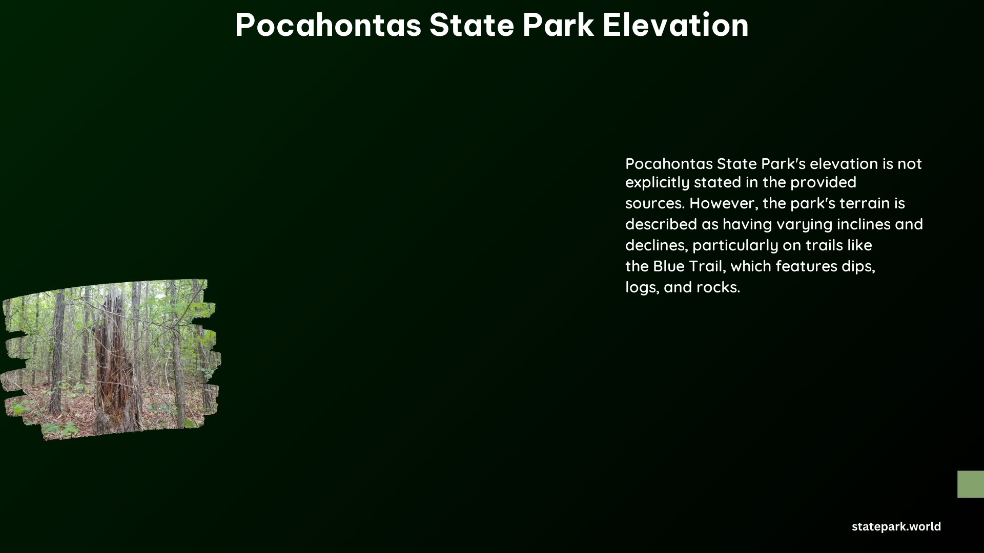
Blue Trail
- Difficulty: Moderate
- Length: 3 miles
- Elevation Change: Moderate Inclines and Declines
Hikers should be aware of the elevation changes along the trails and plan their routes accordingly to ensure a comfortable and enjoyable experience.
Mountain Biking and Elevation
Pocahontas State Park is a popular destination for mountain bikers, with approximately 43 miles of single-track directional trails. These trails are divided into three major trail systems: Morgan, Swift Creek, and Lakeview. The elevation changes along these trails can impact the difficulty and technicality of the ride.
Trail Difficulty Grading
The park’s trail guide provides a difficulty scale for mountain biking trails, with trails categorized as easy, moderate, or difficult. This grading system takes into account factors such as steepness and length, which are influenced by the park’s elevation profile.
- Easy Trails: Minimal elevation changes
- Moderate Trails: Moderate inclines and declines
- Difficult Trails: Significant elevation changes and technical features
Mountain bikers should check the trail status and difficulty ratings before visiting to ensure they are prepared for the conditions.
Fishing and Elevation
In addition to hiking and mountain biking, Pocahontas State Park also offers excellent fishing opportunities. The park’s various lakes and streams, such as Beaver Lake and Swift Creek Reservoir, are popular destinations for anglers. The park’s elevation profile can influence water levels and flow, which can impact the fishing experience.
Conclusion
Pocahontas State Park’s diverse elevation range, from 118 feet to 312 feet, contributes to the park’s unique landscape and supports a wide variety of outdoor activities. Hikers and mountain bikers should be aware of the elevation changes along the trails and plan their routes accordingly. Anglers should also consider the park’s elevation profile when fishing in the various lakes and streams. Whether you’re a hiker, mountain biker, or angler, Pocahontas State Park offers a truly remarkable outdoor experience.
References:
- https://en-us.topographic-map.com/map-p5m8gt/Pocahontas-State-Park/
- https://en.wikipedia.org/wiki/Pocahontas_State_Park
- https://www.dcr.virginia.gov/state-parks/pocahontas
- https://www.dcr.virginia.gov/state-parks/document/data/trail-guide-pocahontas.pdf
- https://virginiaoutdoors.com/parks/details/pocahontas-state-park